There’s a Tahoe for everyone and every season
All-season Tahoe Activities & Attractions
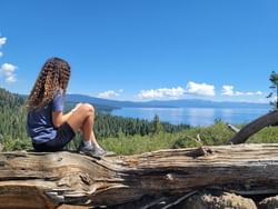
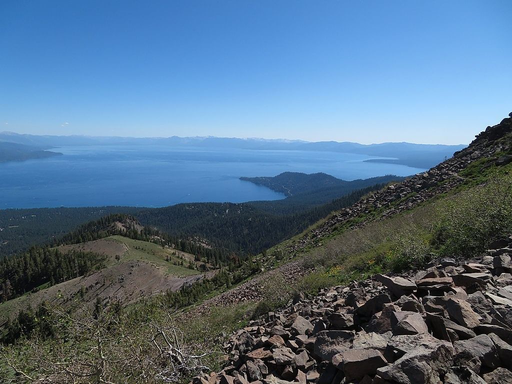
Whether your idea of adventure is chasing Olympic-downhill steeps, spending a day on our family-friendly ski & sled hill, ziplining through the treetops, kayaking across the technicolor waters of Emerald Bay, or enjoying après-adventure brews, there’s never an off-season at Granlibakken Tahoe.
A 165 mile trail encircling Lake Tahoe accessible right from Granlibakken's property.

Just a short drive from Granlibakken, this panoramic 10-minute ride soars above the iconic Tram Face, offering stunning mountain vistas and beautiful views of Lake Tahoe itself, ending at Palisades Tahoe's High Camp.
Once spanning from Salt Lake City to Sacramento, day hikers can enjoy a scenic trek between the Truckee River and areas of Olympic Valley.
A moderately challenging five-mile trail near Olympic Valley with places to fish and swim.
This easy 3-mile scenic paved trail between Incline Village and Sand Harbor provides spectacular views of Lake Tahoe and several access points to its shore.
Visited by travelers from all over the world, the Lake Tahoe Flume Trail is carved into steep rock overlooking the Lake.
See Tahoe from the lake aboard the Tahoe Gal, an iconic paddle wheeler offering a variety of daily and event cruise options.
A challenging and scenic 10.7-mile loop near Incline Village NV with views of Lake Tahoe at the summit.

One of the most picturesque places in the Lake Tahoe basin, Emerald Bay offers breathtaking views, short hikes, boat trips, kayak tours, and so much more.
Enjoy a moderate 1.4 mile out-and-back hike near Emerald Bay leading to a cascading waterfall.
A unique Scandinavian-styled stone mansion in Lake Tahoe's famed Emerald Bay.
20 historic buildings that once served as summer retreats for San Francisco's wealthy elites, today the property is open to the public for tours.
A complex of stately lakeside lodges made famous as the backdrop for the film Godfather II.

This historic estate was once home to eccentric millionaire George Whittell Jr. and his pet elephant Mingo.

This 16.4 mile out-and-back moderate hike along Tahoe's west shore at D.L. Bliss State Park and Emerald Bay.
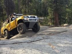
The legendary and technical 4x4 road and namesake of the Jeep model.
This 10.2 mile out-and-back moderately-challenging trail is accessible from the Spooner Lake trail area.

A scenic hour-plus drive from Granlibakken takes you to the Spooner Backcountry and an alpine lake surrounded trails.

A large and scenic recreation site that extends from downtown Tahoe City to the Truckee River.

A challenging 5.8 mile trail popular for hiking and best completed June through October.
This moderately challenging trail is popular for hiking, mountain biking, and cross-country skiing.
Hike 400 ft uphill to gaze over the lake from the California/Nevada border.
Learn about the Tahoe Basin and all it has to offer. Typically open May through October, with grounds open all year round for recreation.
The beautiful and popular 2,500 feet long beach hosts a variety of water activities and nearby Diver’s Cove is a favorite for SCUBA divers.
Explore Truckee's history with artifacts and interpretive exhibits.

Beautiful park and waterfront at the heart of Tahoe City, featuring a playground, picnic area, amphitheater, and paddlesport rentals.
Kid Friendly!
A short but vigorous hike will reward you with one of the west shore's best lakeside vistas.
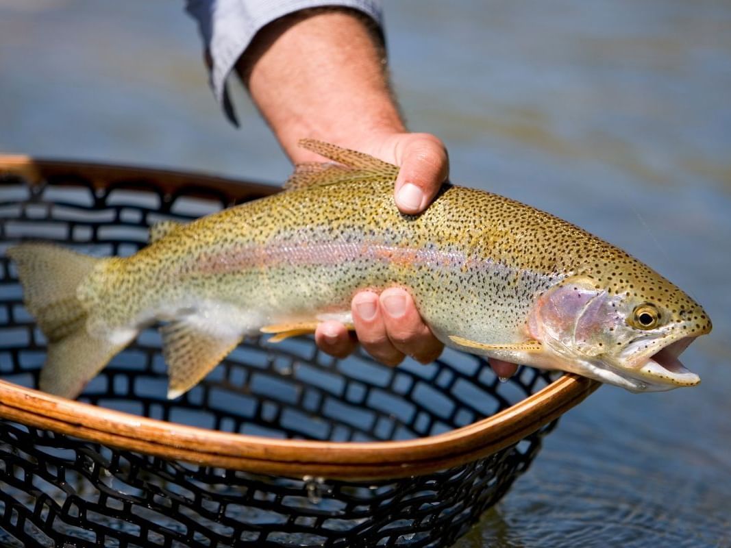
A popular spot to watch large trout at the head of the Truckee River.
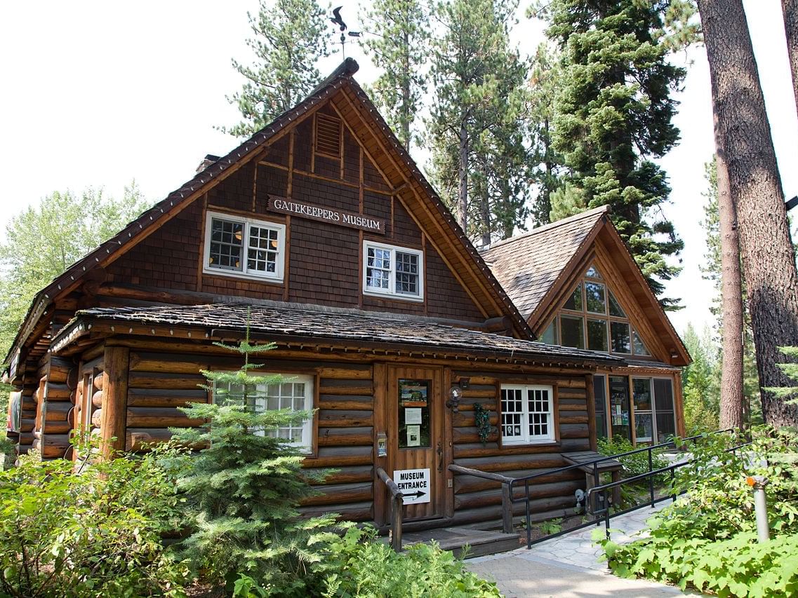
The oldest log structure in the North Lake Tahoe area. Free and open to the public in the summer months.
Tahoe City's small local history museum.
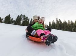
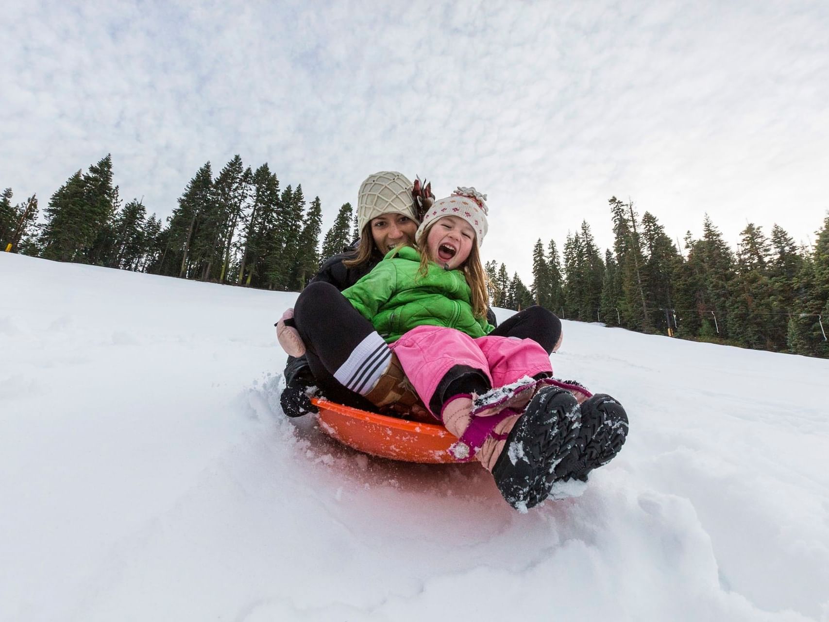
Granlibakken's groomed sled hill offers limitless family fun. Choose from two slopes—green for younger kids and black for teens and adults.
Kid Friendly & Discounts for Granlibakken Tahoe Lodging Guests!

Granlibakken's 74-acre alpine property offers plenty of scenic Sierra terrain year-round. In the winter, cross-country skiers can explore trails surrounded by a stunning, snow-covered backdrop. Cross-country ski rentals are available in our ski hut.
Take a snowshoe hike on Granlibakken's 1.5 mile forest loop trail or a longer 7-mile wilderness loop out to Paige Meadows. Snowshoe rentals are available at our historic warming hut at the ski hill.
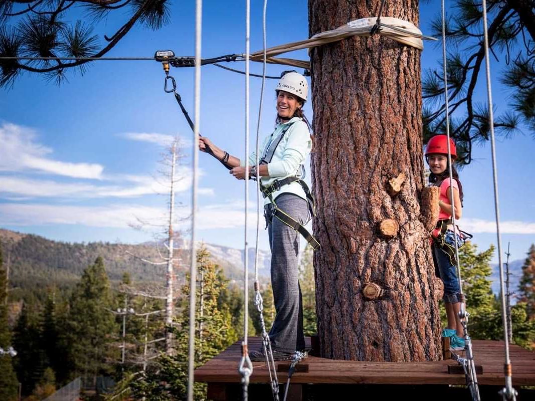
Treetop Adventure Course
Located within Granlibakken Tahoe’s 74-acre property, this adventure park features 97 tree platforms within a secluded forest with large pine and fir trees, and old-growth cedars, 27 zip lines and 60 bridges. Advance booking is strongly recommended.
Kid Friendly!
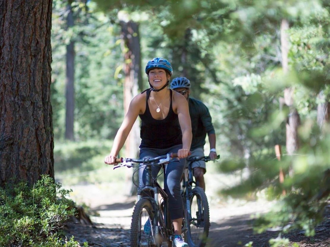
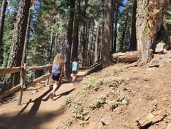
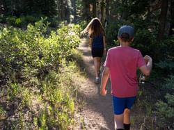
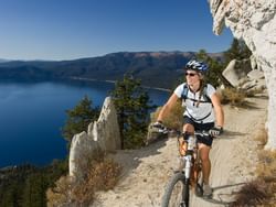
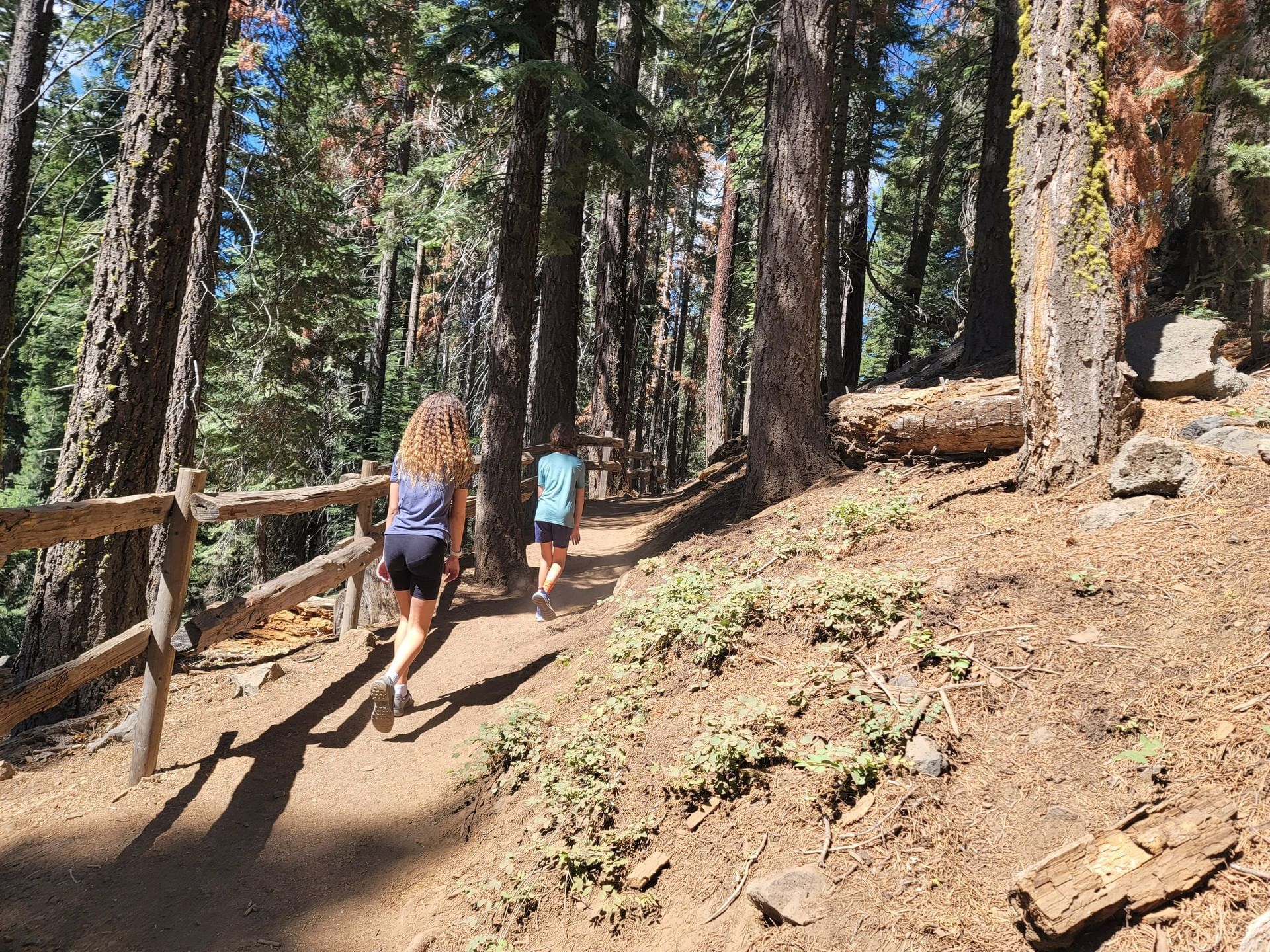
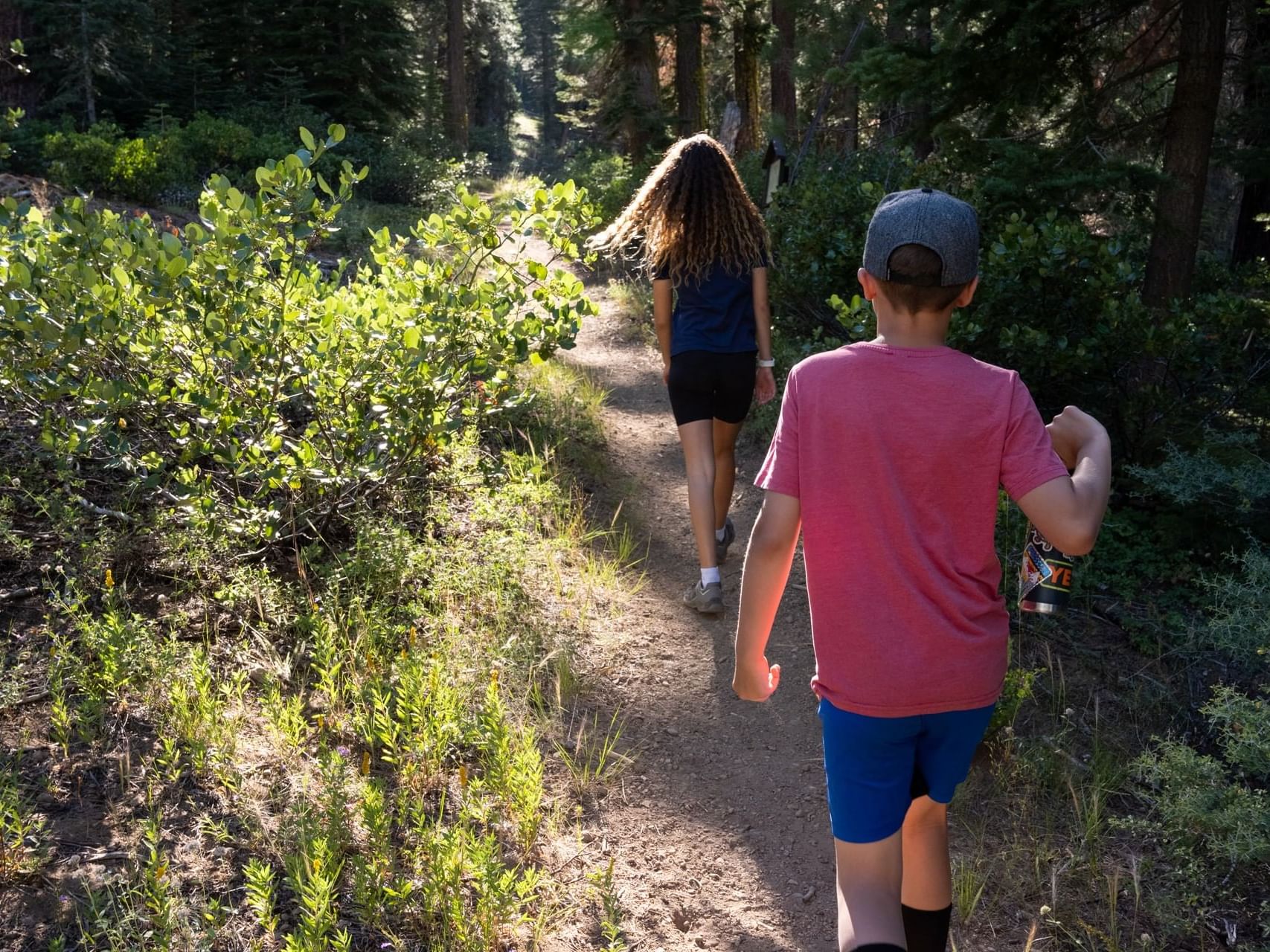
Mountain Biking
A leisurely ride on paved, multi-use trails along the Truckee River or Lake Tahoe shore, or an adrenaline-high adventure on the numerous local dirt trails—the choice is yours.
Tahoe Rim Trail
A 165 mile trail encircling Lake Tahoe accessible right from Granlibakken's property.
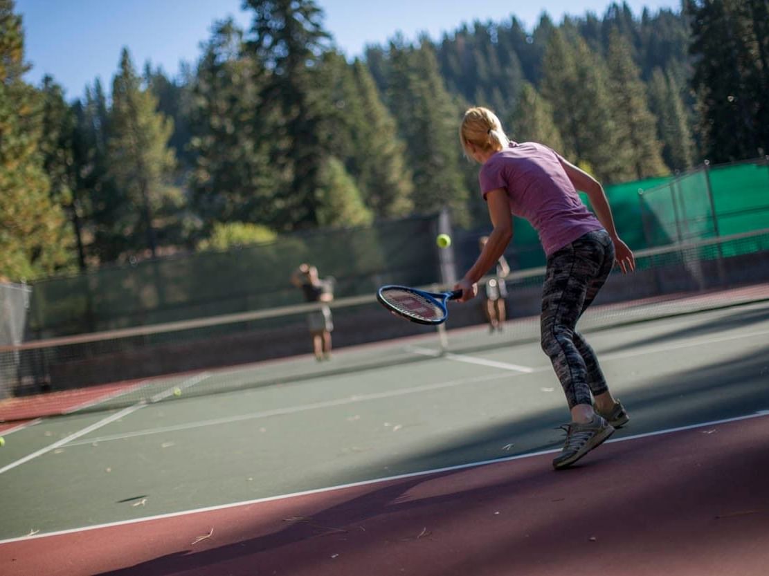
Tennis & Pickleball
Granlibakken offers five outdoor tennis courts, two of which are also striped for pickleball. A tennis ball machine is available for rent.
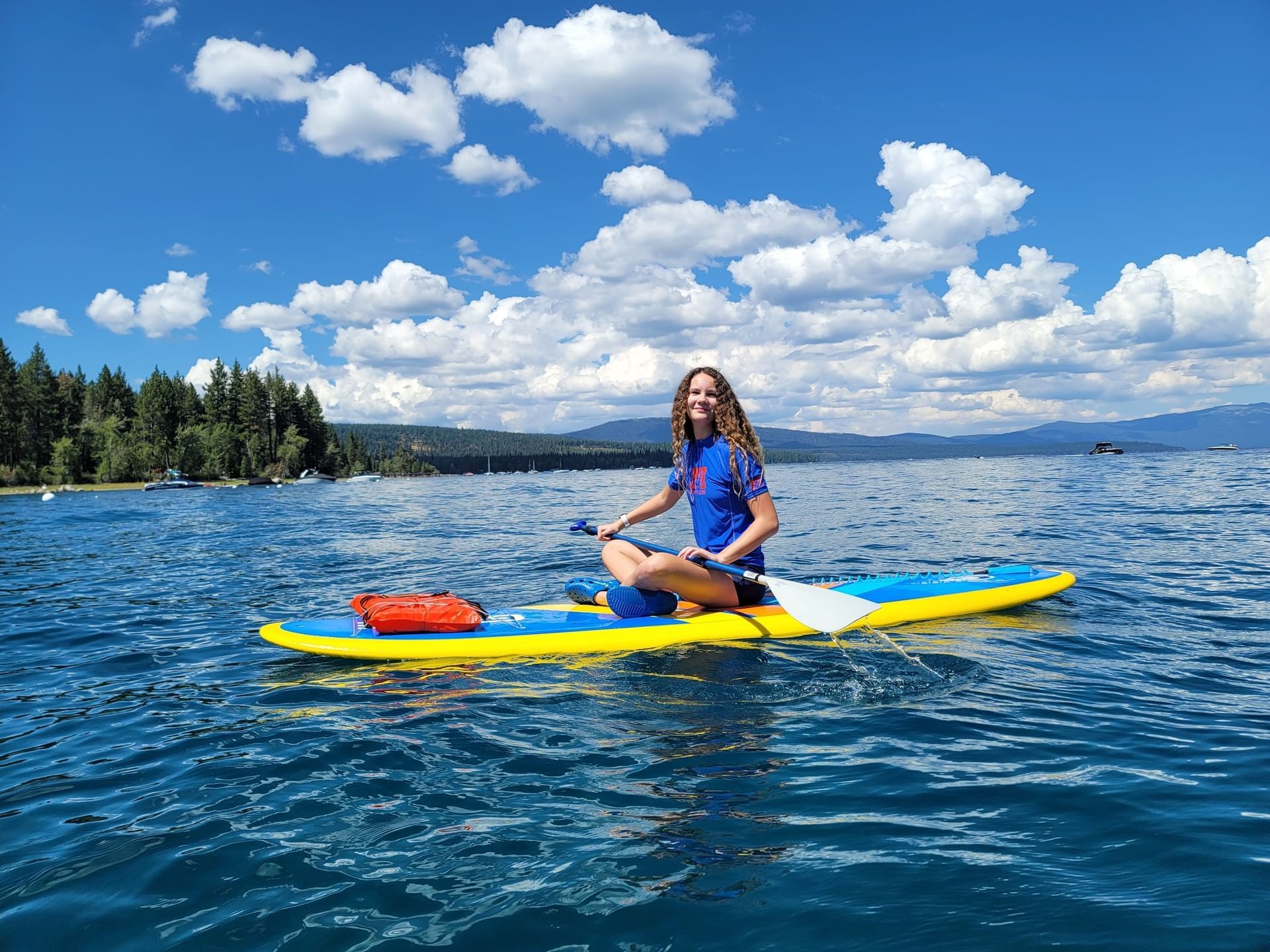
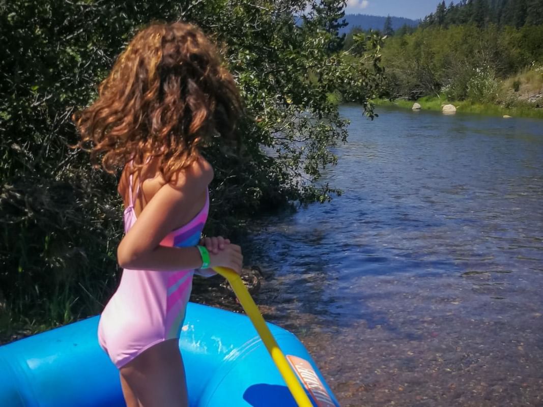
Paddleboarding & Kayaking
Glide on the crystal clear waters of Lake Tahoe on a stand up paddleboard or kayak. Follow the shoreline and see Tahoe from another perspective.
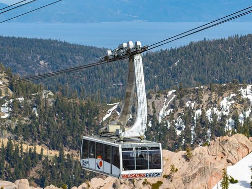
Palisades Summer Aerial Tram
Just a short drive from Granlibakken, this panoramic 10-minute ride soars above the iconic Tram Face, offering stunning mountain vistas and beautiful views of Lake Tahoe itself, ending at Palisades Tahoe's High Camp.
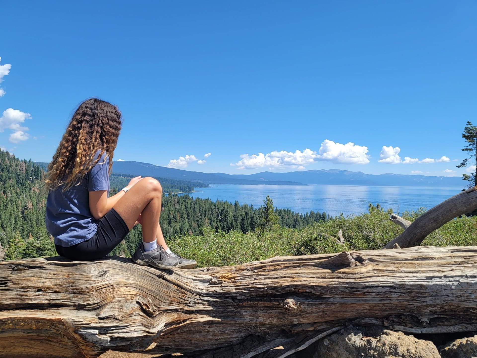
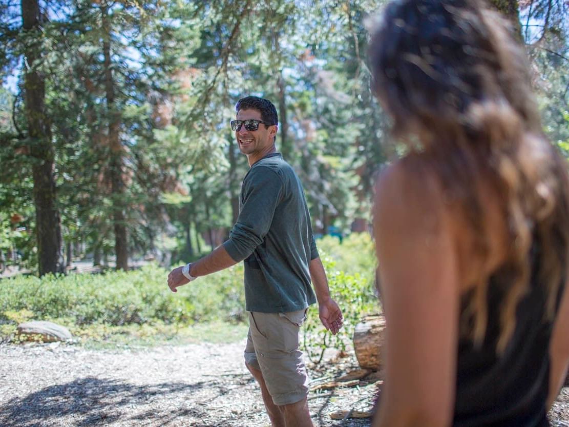
Photography
Sunrise and sunset, flora and fauna, panoramas and action sports—whatever your muse, Tahoe is a photographer's dream destination.
Western States Trail
Once spanning from Salt Lake City to Sacramento, day hikers can enjoy a scenic trek between the Truckee River and areas of Olympic Valley.
Five Lakes Trail
A moderately challenging five-mile trail near Olympic Valley with places to fish and swim.
Tahoe East Shore Trail
This easy 3-mile scenic paved trail between Incline Village and Sand Harbor provides spectacular views of Lake Tahoe and several access points to its shore.

Flume Trail
Visited by travelers from all over the world, the Lake Tahoe Flume Trail is carved into steep rock overlooking the Lake.
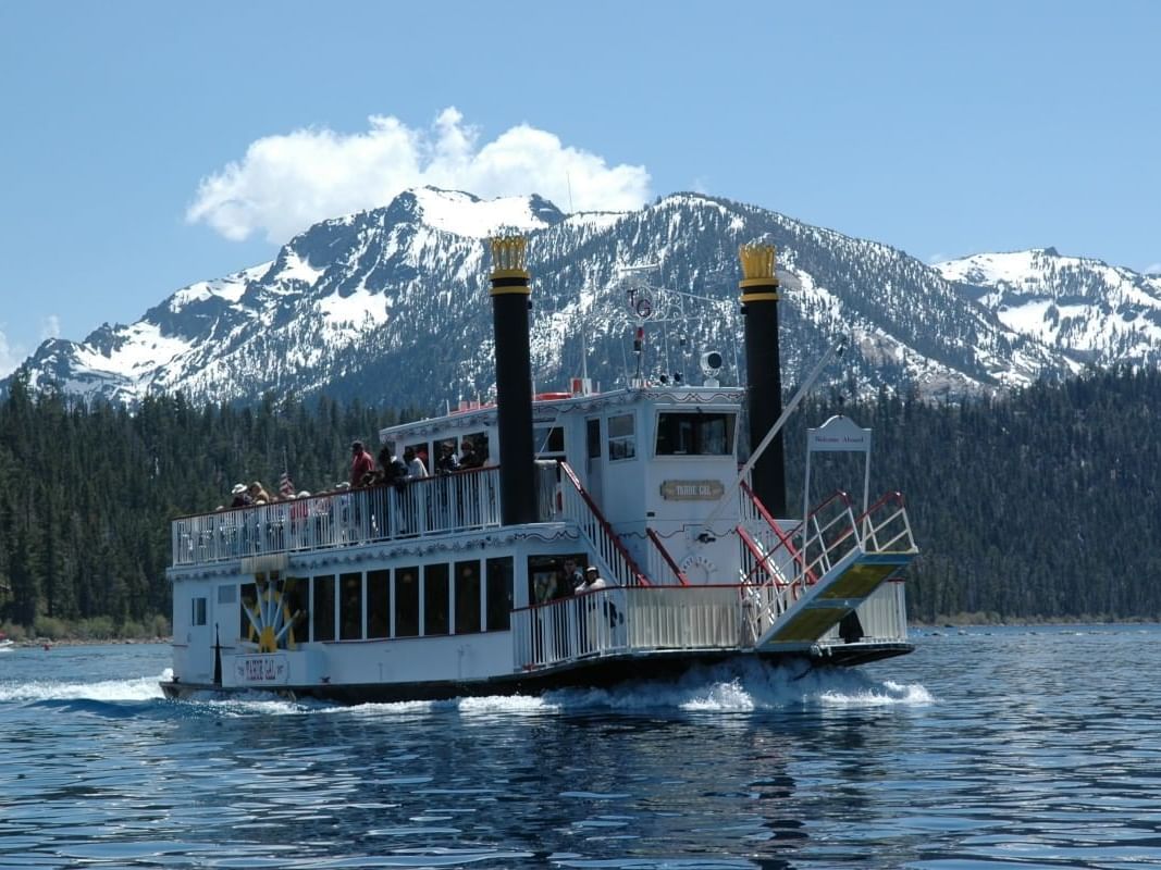
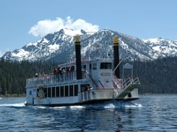
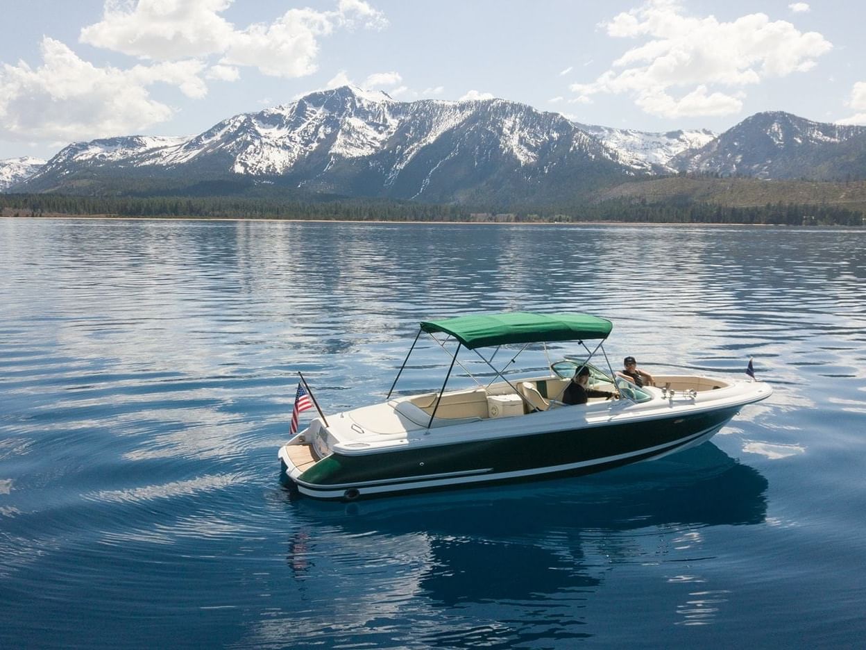
Boat Cruises
See Tahoe from the lake aboard the Tahoe Gal, an iconic paddle wheeler offering a variety of daily and event cruise options.
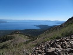
Mt Rose Trail
A challenging and scenic 10.7-mile loop near Incline Village NV with views of Lake Tahoe at the summit.
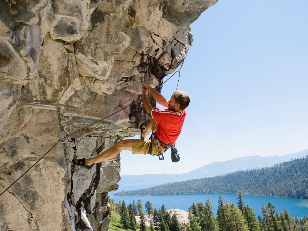
Rock climbing
The Tahoe area boasts world-class rock climbing, bouldering and mountaineering. Whether you're into top-roping, sport climbing, trad climbing, or scrambling, there's something for you.
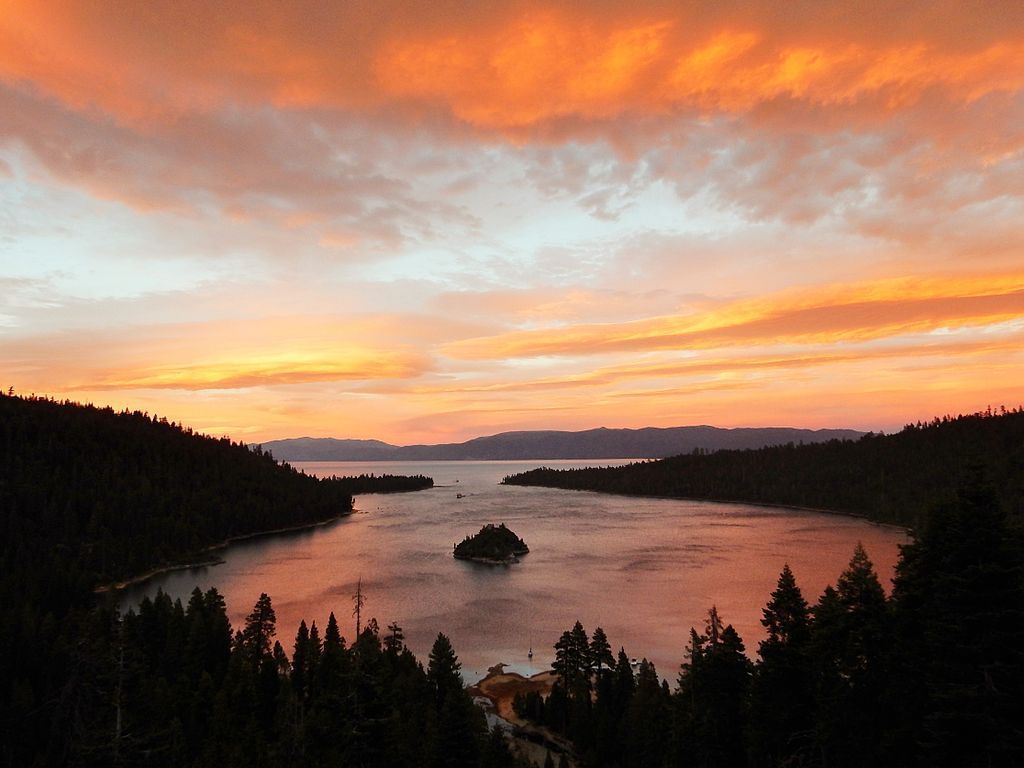
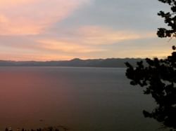
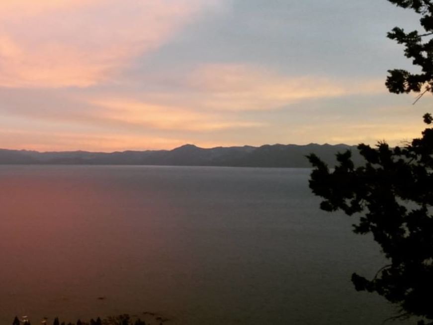
Sunset over Emerald Bay, Lake Tahoe. Photo by Keith Wehner / CC BY-SA 4.0 via Wikimedia Commons
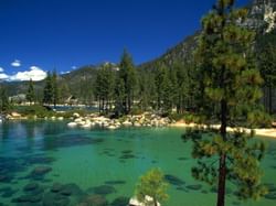
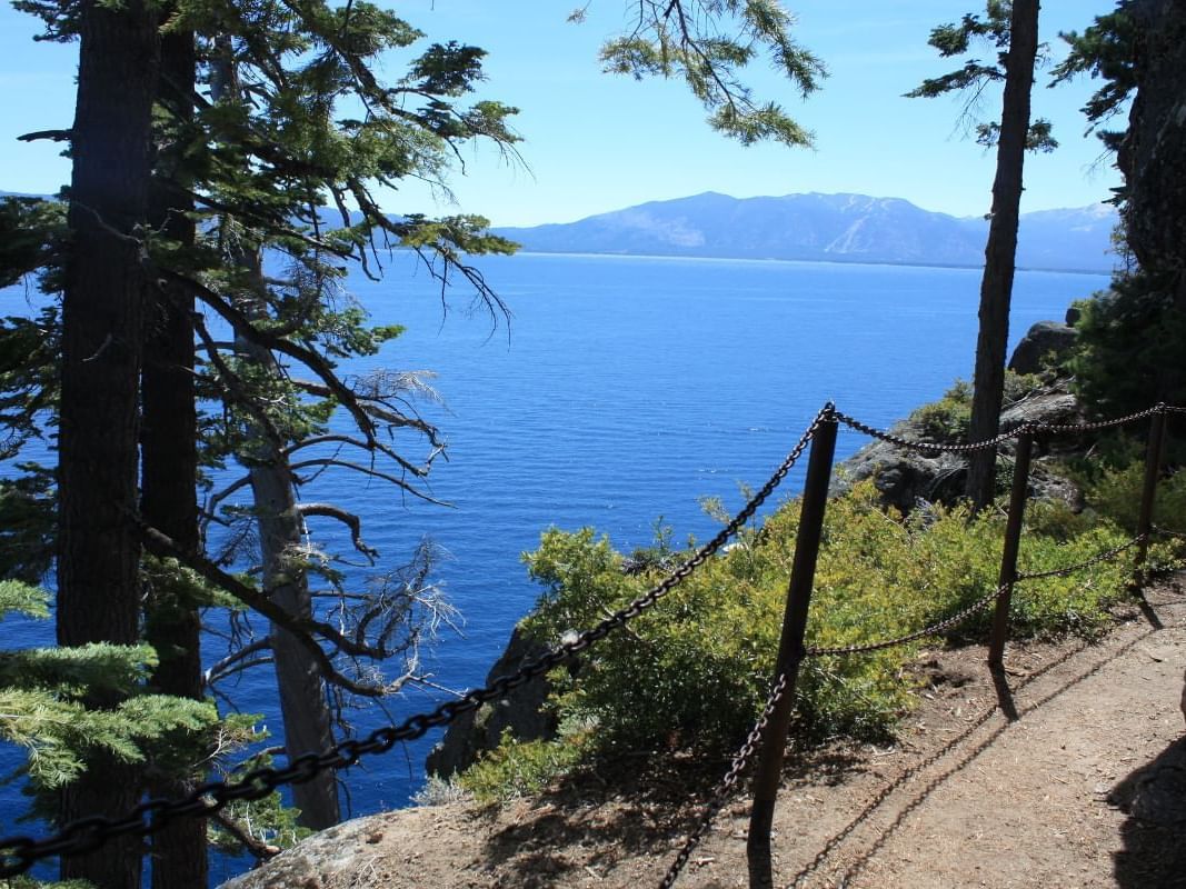
Emerald Bay
One of the most picturesque places in the Lake Tahoe basin, Emerald Bay offers breathtaking views, short hikes, boat trips, kayak tours, and so much more.
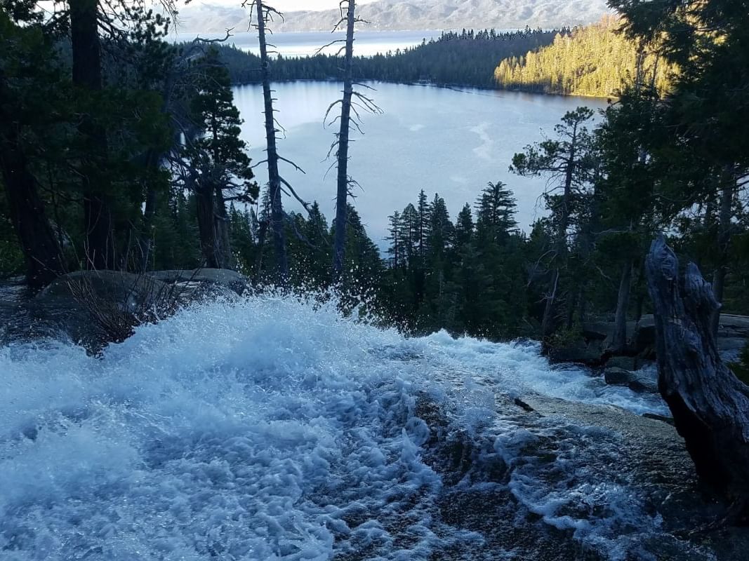
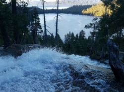
Cascade Creek Falls from top with Cascade Lake below and Lake Tahoe beyond
Cascade Creek Falls Trail
Enjoy a moderate 1.4 mile out-and-back hike near Emerald Bay leading to a cascading waterfall.
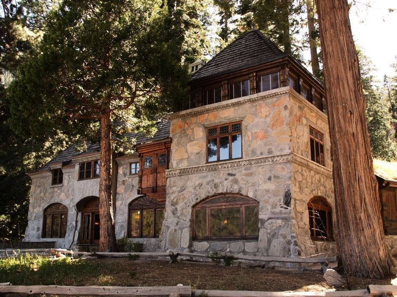
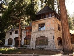
Vikingsholm Castle photo by uzvards via Wikimedia Commons / CC BY-SA 2.0
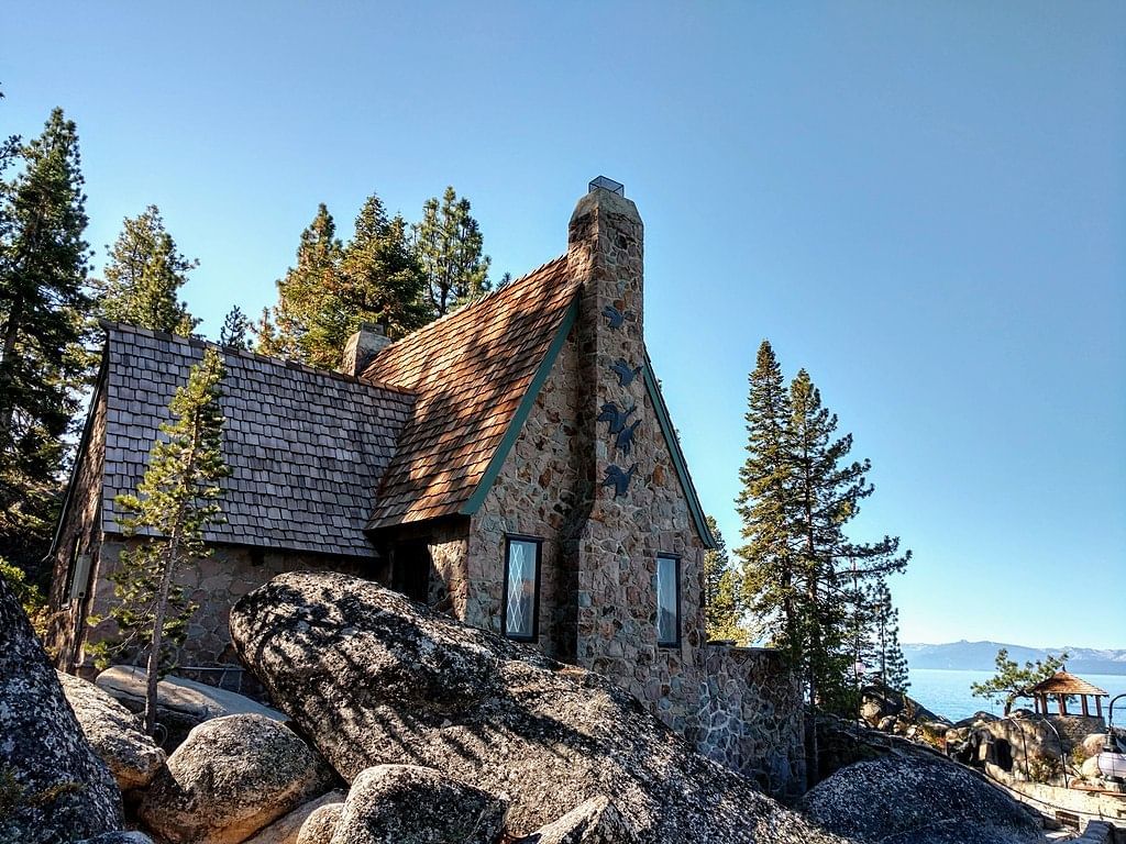
Vikingsholm Castle
A unique Scandinavian-styled stone mansion in Lake Tahoe's famed Emerald Bay.
Backcountry skiing
Take the trail less traveled. Enjoy guided or self-guided backcountry skiing experiences in the Tahoe National Forest or at one of Lake Tahoe's surrounding state parks. Granlibakken guests also have direct access to a 1.5-mile trail around the property, and a groomed access trail (flat-groomed, without stride-skiing tracks) to Paige Meadows loop when conditions permit.

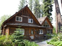
A two-story log cabin at Tallac Site. Photo by Don Graham / CC BY-SA 2.0 via Flickr
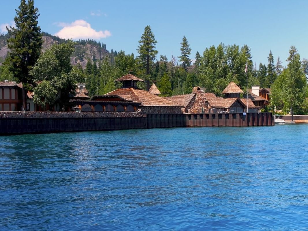
Tallac Historic Site
20 historic buildings that once served as summer retreats for San Francisco's wealthy elites, today the property is open to the public for tours.
Fleur du Lac by the_tahoe_guy via Flickr / CC-BY 2.0
Fleur du Lac Estate
A complex of stately lakeside lodges made famous as the backdrop for the film Godfather II.
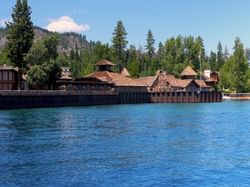
View of the North side of the Historic Thunderbird Lodge by Andrus Hernandez / CC BY-SA 4.0 via Wikimedia Commons
Thunderbird Lodge
This historic estate was once home to eccentric millionaire George Whittell Jr. and his pet elephant Mingo.
Rubicon Trail, D. L. Bliss State Park by ray_explores / CC BY 2.0 via Flickr
Rubicon Trail (hiking)
This 16.4 mile out-and-back moderate hike along Tahoe's west shore at D.L. Bliss State Park and Emerald Bay.
Marlette Lake photo by dh Reno via Flickr / CC-BY-SA 2.0
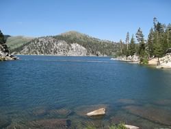
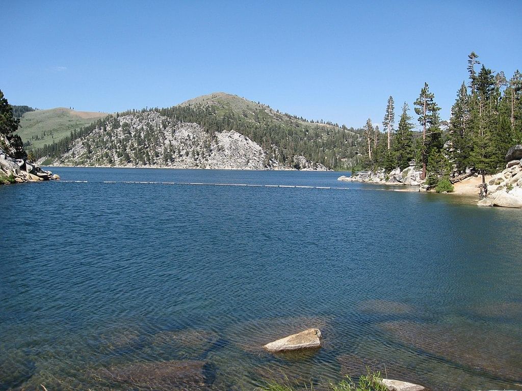
Marlette Lake
This 10.2 mile out-and-back moderately-challenging trail is accessible from the Spooner Lake trail area.
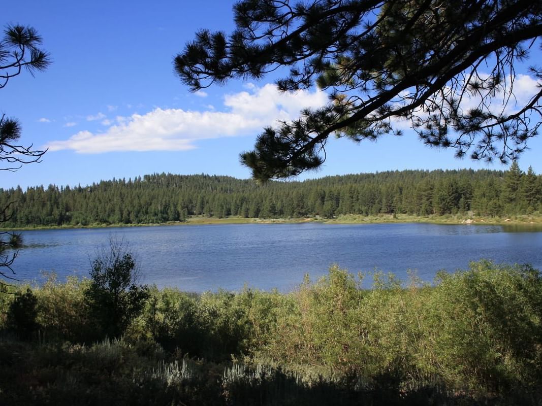
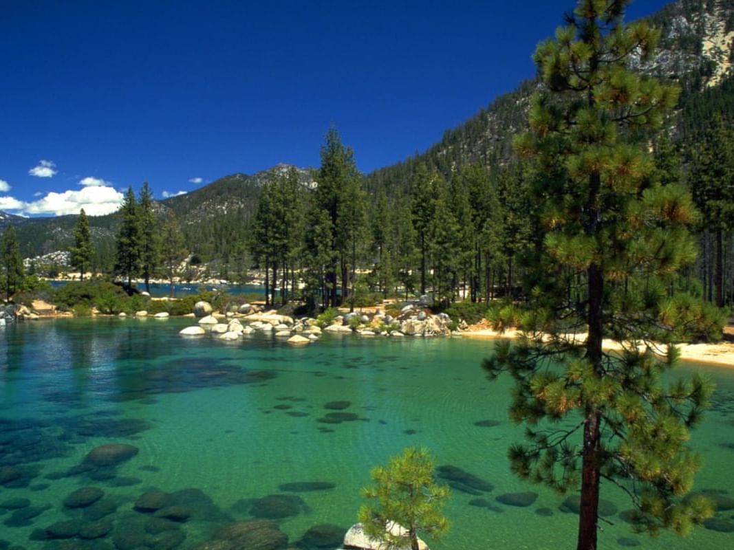
Spooner Lake photo by David Lofink / CC BY 2.0 via Flickr
Spooner Lake
A scenic hour-plus drive from Granlibakken takes you to the Spooner Backcountry and an alpine lake surrounded trails.
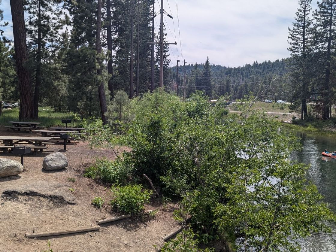
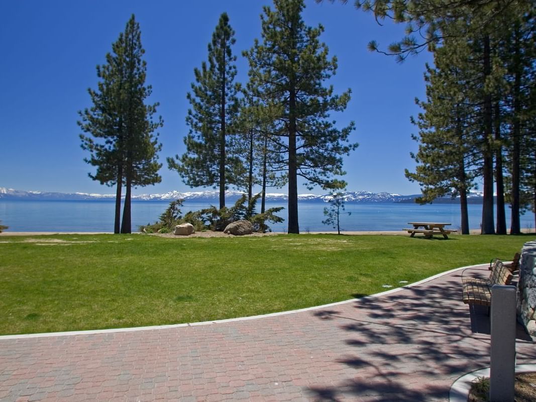
64 Acres Beach and Park
A large and scenic recreation site that extends from downtown Tahoe City to the Truckee River.
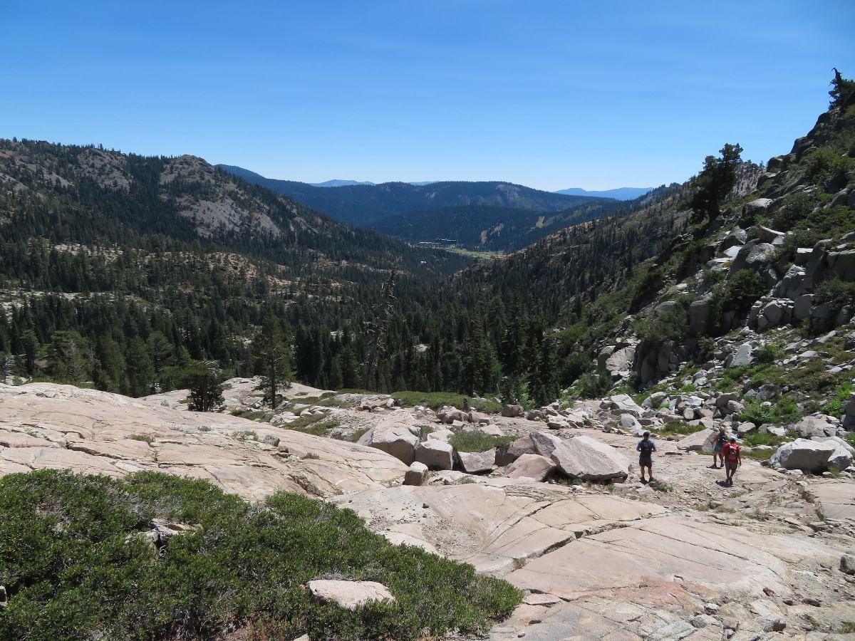
View from Shirley Canyon trail looking toward Olympic Valley. Photo by Ken Lund via Flickr / CC BY-SA 2.0
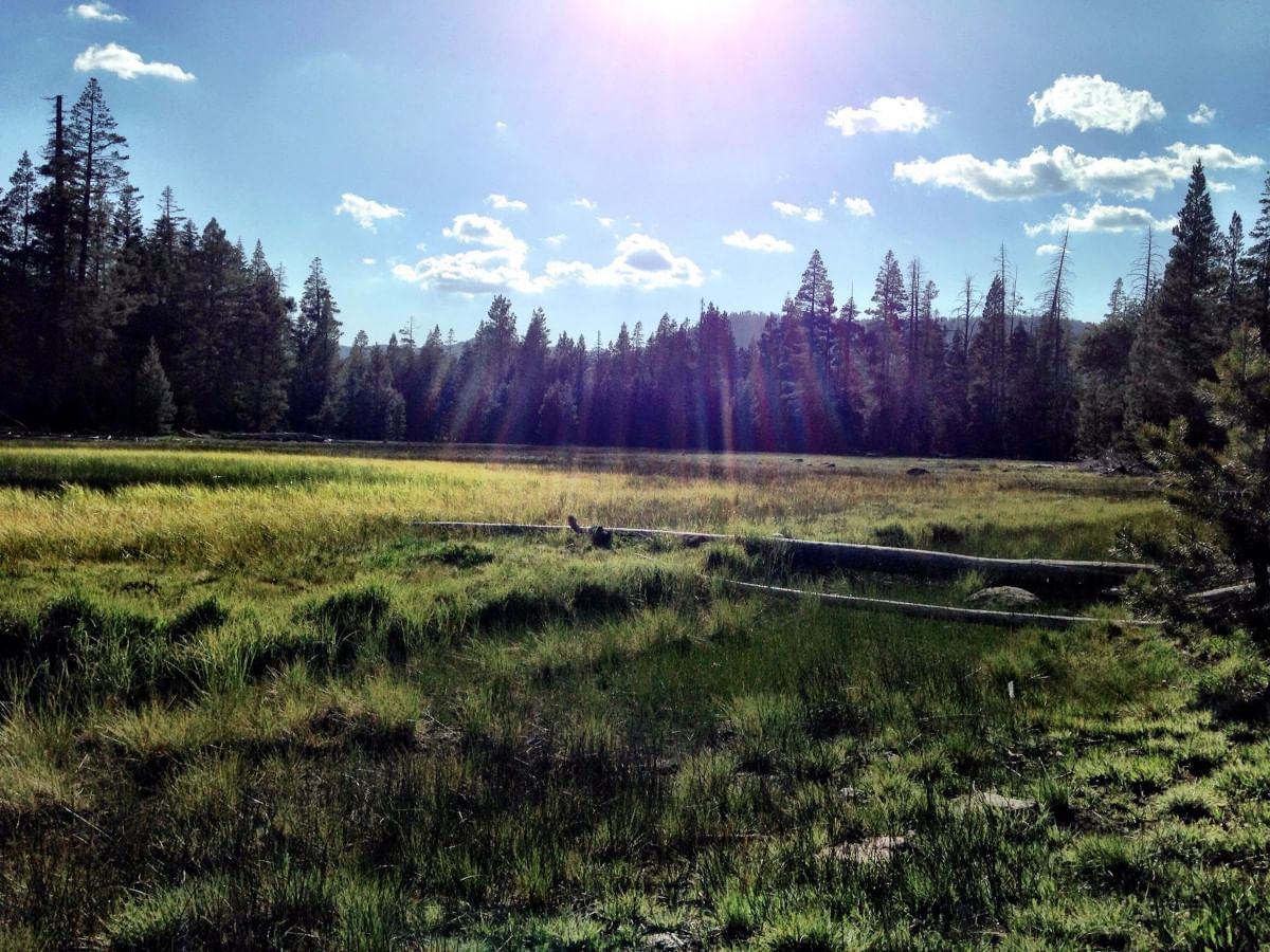
Shirley Canyon
A challenging 5.8 mile trail popular for hiking and best completed June through October.
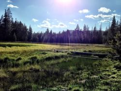
Paige Meadows Loop
This moderately challenging trail is popular for hiking, mountain biking, and cross-country skiing.
Historic Stateline Fire Lookout
Hike 400 ft uphill to gaze over the lake from the California/Nevada border.

Kokanee salmon spawning in Taylor Creek in October. Photo by Jonathan Cook-Fisher / CC BY-2.0 via Flickr
Taylor Creek Visitor Center
Learn about the Tahoe Basin and all it has to offer. Typically open May through October, with grounds open all year round for recreation.
Sand Harbor
The beautiful and popular 2,500 feet long beach hosts a variety of water activities and nearby Diver’s Cove is a favorite for SCUBA divers.
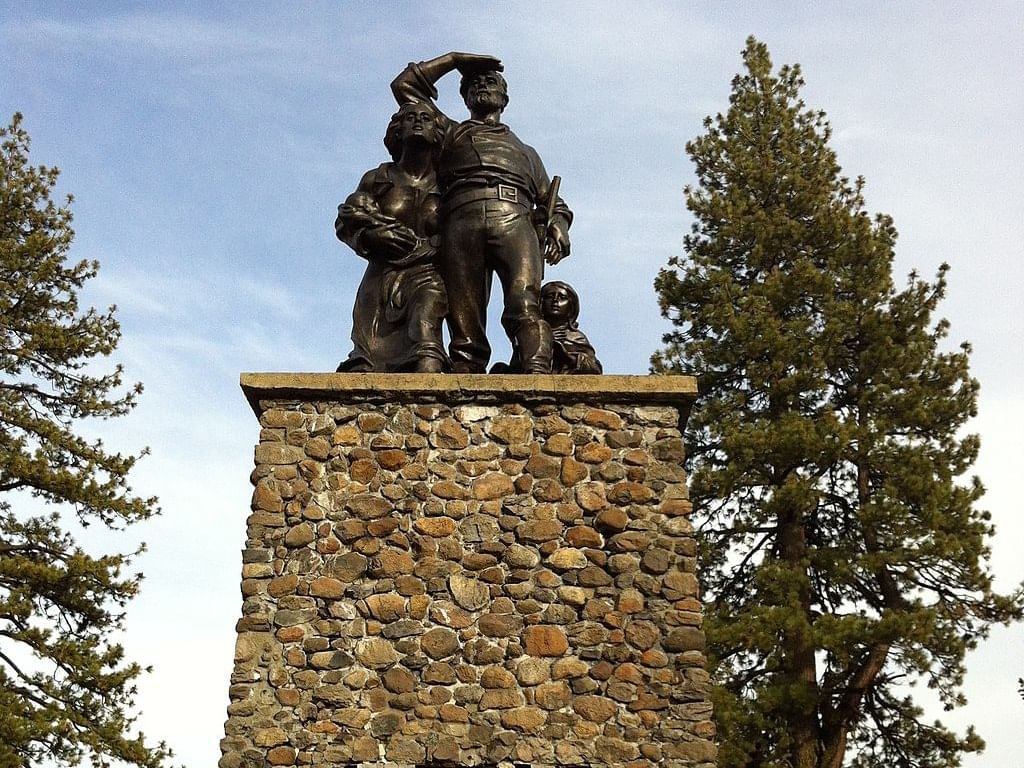
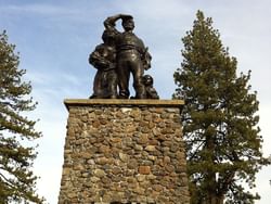
The Donner Party Memorial by Noah_Lovebear / CC BY-SA-3.0 via Wikimedia Commons
Donner Memorial State Museum
Explore Truckee's history with artifacts and interpretive exhibits.
Commons Beach
Beautiful park and waterfront at the heart of Tahoe City, featuring a playground, picnic area, amphitheater, and paddlesport rentals.
Kid Friendly!
Eagle Rock
A short but vigorous hike will reward you with one of the west shore's best lakeside vistas.
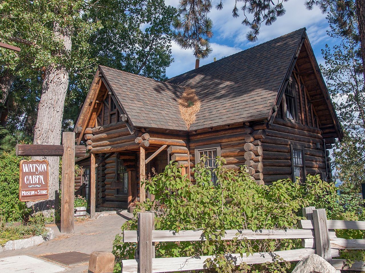
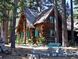
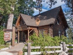
Watson Log Cabin by Kenneth J. Gill / CC BY-SA via Wikimedia Commons
Watson Cabin
The oldest log structure in the North Lake Tahoe area. Free and open to the public in the summer months.
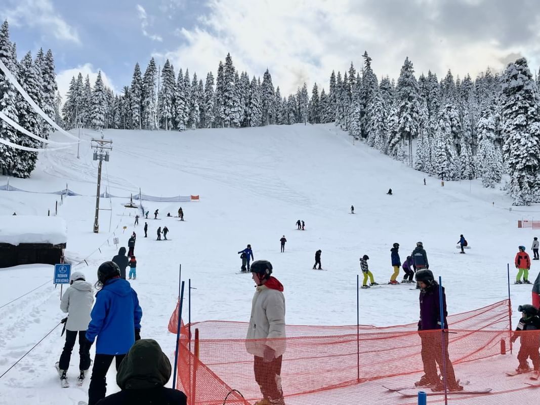
Ski and Snowboard Hill
One of the very first hills cleared for skiing and sledding at Tahoe. Affordable beginner-level skiing and snowboarding, with the best sledding area around.
Kid Friendly!
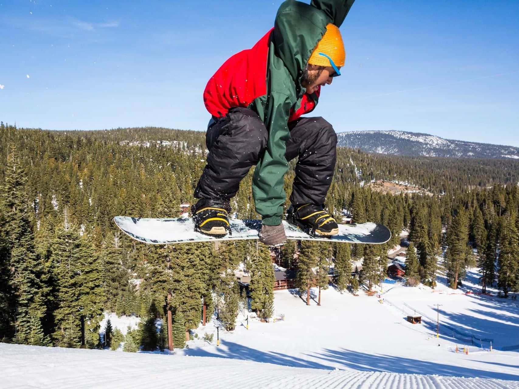
Skiing & Snowboarding
Skiing and snowboarding are offered both at the resort on our fully groomed family-friendly ski and snowboard hill and at numerous world-class ski resorts within a short drive of Granlibakken: Palisades Tahoe, offering access to both Alpine Meadows and Olympic Valley, and Homewood Mountain Resort. Just slightly further away are Sugar Bowl, Northstar and Boreal.
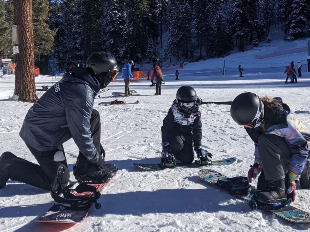
Ski and snowboard lessons
Join the generations of people who learned to ski or snowboard at Granlibakken—Tahoe's best value, family-friendly ski hill. Private and group lessons are available.
Kid Friendly!
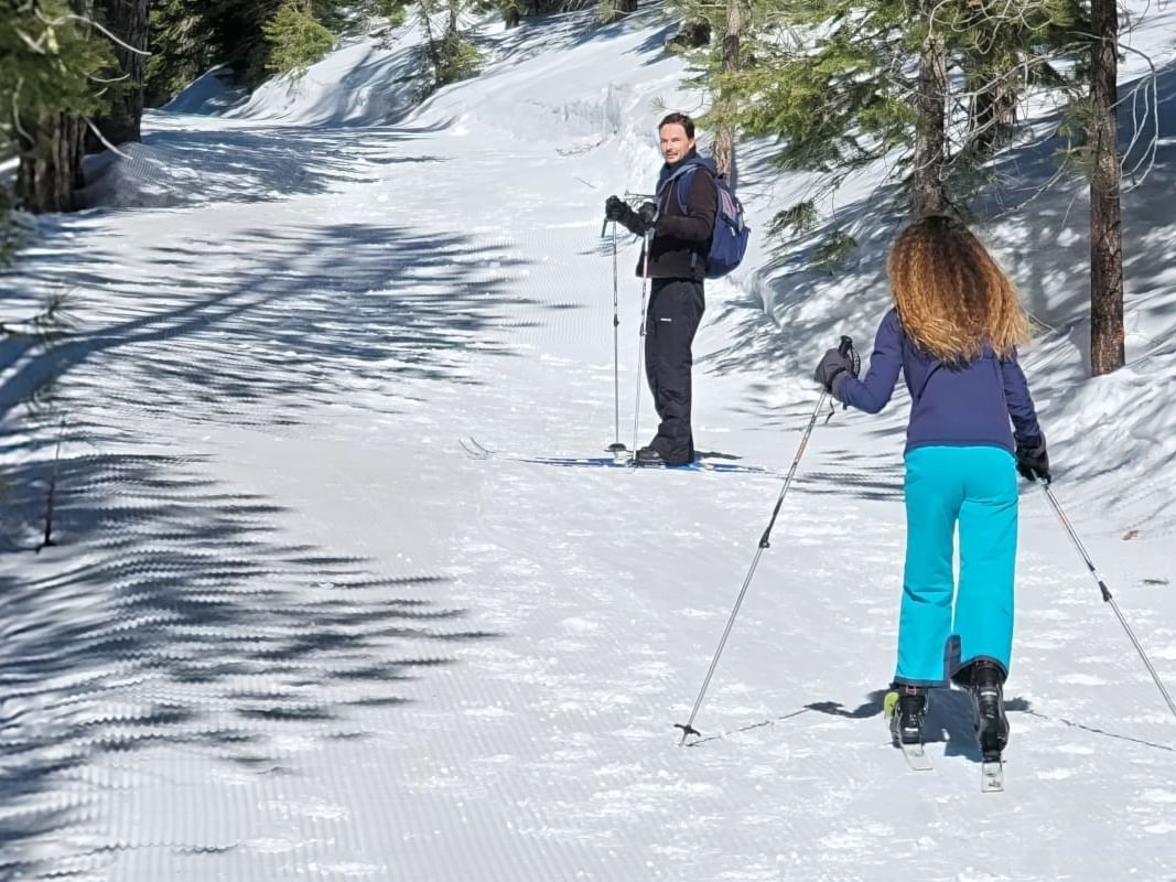
Cross-Country Skiing
Granlibakken's 74-acre alpine property offers plenty of scenic Sierra terrain year-round. In the winter, cross-country skiers can explore trails surrounded by a stunning, snow-covered backdrop. Cross-country ski rentals are available in our ski hut.
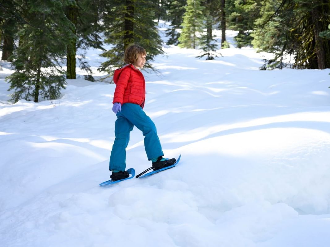
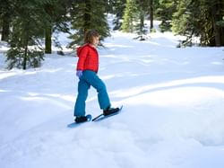
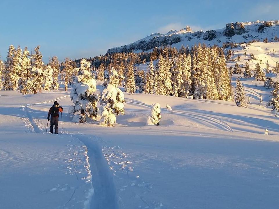
Snowshoeing
Take a snowshoe hike on Granlibakken's 1.5 mile forest loop trail or a longer 7-mile wilderness loop out to Paige Meadows. Snowshoe rentals are available at our historic warming hut at the ski hill.
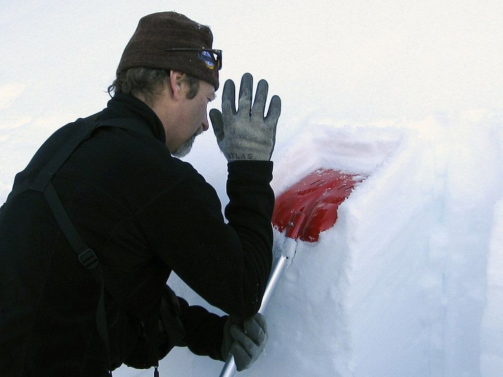
Compression test to check snowpack stability. Photo by Ruth Hartnup from Vancouver, Canada / CC BY 2.0 via Wikimedia Commons
Avalanche class
Avalanche courses give participants a network of skills necessary to navigate the backcountry. Participants will learn safe travel methods in avalanche terrain, how to interpret the avalanche bulletin, companion rescue protocols, and decision-making fundamentals.